Diagram titled Real-Time Crime Center with five branches: ALPR (Flock) license plate reader, traffic cameras, body-worn cameras, drone as first responder, and dispatch plus 911 tech.

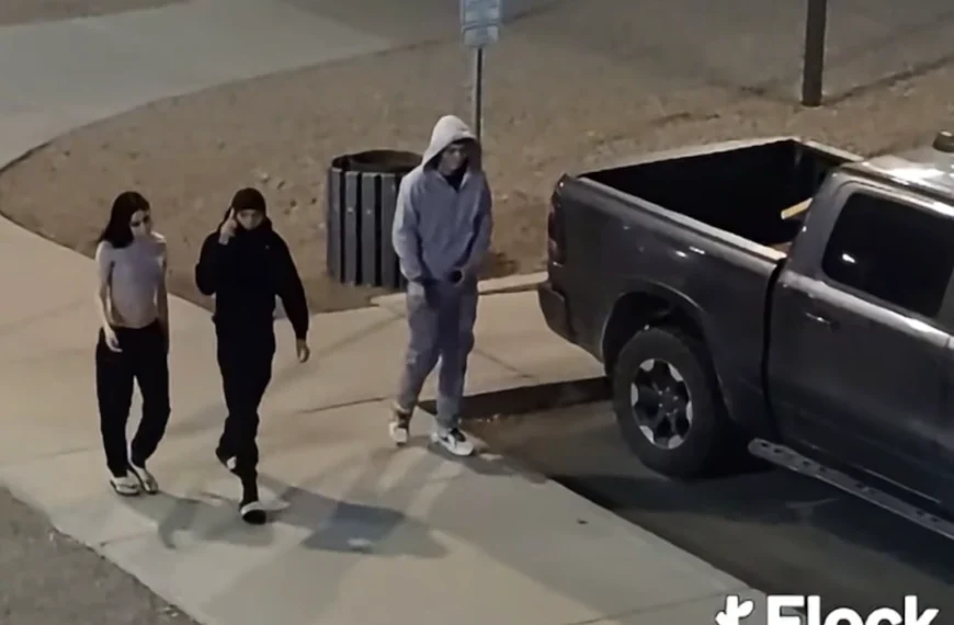
Apache Junction Flock Cameras Remain in Use as Council Plans Work Session

Nick Kanavati Sep 3, 2026

Apache Junction’s Flock license plate cameras will keep running while the City Council weighs their future. At…

Building drawings for the Banyan Apartments Apache Junction project compare updated exteriors in muted tans and browns with the older, brighter orange and yellow scheme.

Staff signals support for revised Banyan Apartments plan as council members question support letters

Nick Kanavati Sep 1, 2026

Banyan Residential’s revised plans for 146 income-restricted apartments at Virginia Street and Rennick Drive add required parking,…

Nighttime rendering of the proposed San Tan Heights monument sign with a lit Dutch Bros panel, four empty tenant panels, a San Tan Heights watermark and the address 2515

Taller-Than-Code Signs Proposed on Hunt Highway Test San Tan Valley’s New Signage Policy

Nick Kanavati Aug 31, 2026

Two 10-foot lighted signs would mark the new Dutch Bros and Busy Bees corner on Hunt Highway…

Rendering of Bella Norte's three-story apartment buildings along the street, with balconies, desert landscaping and a fenced dog run

Downtown Apache Junction’s Bella Norte apartments split planners in 3-3 tie, sending decision to council

Nick Kanavati Aug 29, 2026

Apache Junction planning commissioners deadlocked 3-3 on Bella Norte, a proposed 210-unit apartment community at Idaho Road…

Map showing incorporated town boundaries with Queen Creek in green, San Tan Valley in purple and Florence in olive. A red arrow points to the small annexation parcel in unincorporated county land at Gantzel Road and Lone Star Lane, just outside San Tan Valley's boundary.

San Tan Valley Annexation Review Points to September Rezoning Case

Nick Kanavati Aug 28, 2026

San Tan Valley’s new Planning and Zoning Commission reviewed the Gantzel Road annexation on August 24, but…

Regional map showing the Desert Crest Energy Storage site in unincorporated Pinal County just west of the Casa Grande city limits.

Desert Crest Battery Storage Advances West of Casa Grande

Nick Kanavati Aug 26, 2026

A 350-megawatt battery facility cleared its first hearing west of Casa Grande, with a projected 2031 opening…

Aerial image showing the 260-acre Barcello Farms site outlined in black between Felix Road and Cooper Road, south of Bella Vista Road. The built subdivisions of Magma Ranch I sit directly to the south and Magma Ranch II to the southeast. Agricultural fields extend to the west and southwest, with open desert and foothills to the north and east.

‘Profit-driven, not economy-driven’: chairman challenges Barcello Farms lot sizes

Nick Kanavati Aug 24, 2026

Planning commissioners delayed a recommendation on the 1,052-home Barcello Farms proposal after objecting to 40-foot-wide lots and…

Two SRP diagrams: the full electric grid from generation through transmission and distribution to customers, and the large business customer version that stops at the high-voltage transmission lines

‘One hundred percent not true’: SRP’s answer on data centers and your power bill

Nick Kanavati Aug 21, 2026

“At least in SRP territory, that is one hundred percent not true,” SRP’s Scott Scharli told Pinal…

View More Post