County to Launch Open Data Portal
Pinal County is planning to eliminate fees for Geographic Information System (GIS) data. The Pinal County Board of Supervisors discussed the repeal of the GIS data fee schedule during their special session on May 14, 2025, though no formal vote was taken during the meeting.
Sarah Hess, GIS Supervisor for the Information Technology Services Department, presented the plan to move from a fee-based system to an open data portal where residents and businesses can access county mapping data for free.
The financial data presented shows that GIS data sales generated between $5,035 and $17,325 annually over the past decade. The highest earning year was fiscal year 2020-2021 with $17,325, while the current fiscal year has generated $5,640 as of March 10, 2025.
| Year | Total Sales |
|---|---|
| July 01 2013 – June 30 2014 | $5,035.00 |
| July 01 2014 – June 30 2015 | $11,107.00 |
| July 01 2015 – June 30 2016 | $8,055.00 |
| July 01 2016 – June 30 2017 | $5,645.00 |
| July 01 2017 – June 30 2018 | $10,346.00 |
| July 01 2018 – June 30 2019 | $11,840.00 |
| July 01 2019 – June 30 2020 | $8,225.00 |
| July 01 2020 – June 30 2021 | $17,325.00 |
| July 01 2021 – June 30 2022 | $15,550.00 |
| July 01 2022 – June 30 2023 | $10,290.00 |
| July 01 2023 – June 30 2024 | $8,620.00 |
| July 01 2024 – YTD (3/10/2025) | $5,640.00 |
“The interest in repealing our GIS data fees comes from a couple of main factors,” Hess explained during her presentation. “Right now, the current process for the public to obtain our GIS data is that they submit a GIS data request form, they submit their payment. Our staff then processes the payment, processes the custom GIS data order, and then delivers that data to the customer.”
Hess added, “Currently, our customers are only able to purchase data packages with our current fee schedule, even if they’re only interested in an individual layer. Our customers can experience a two to three business day wait time while we process their payment and their data order.”
“Our data purchasing includes a one-time cost and a one-time data delivery. So if they wanted updated data, they would have to repurchase the data again. And as fast as we are growing and changing, very shortly after we deliver the data, it’s already out of date for the customer,” Hess said.
What is GIS Data?
Geographic Information Systems consist of integrated computer hardware and software that store, manage, analyze, edit, and visualize geographic data. GIS combines computer-mapping capabilities with database management and data analysis tools.
These systems allow users to relate previously unrelated information through location as the key indexing variable. GIS can record locations and extents using coordinates representing longitude, latitude, and elevation.
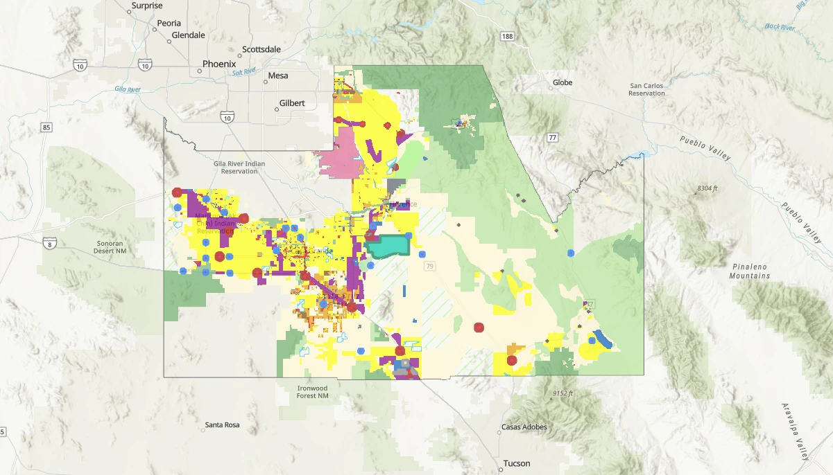
Pinal County’s Available GIS Data
Pinal County offers several GIS data packages that will become freely available through the new portal. These include:
- Addressing Data (street centerlines, situs address points, zip codes)
- Parcel Data (parcel boundaries, subdivisions, assessor market areas, assessor parcel books)
- Tax Authority Data (including various district types such as active management areas, community facility districts, fire districts, school districts, and more than a dozen other district categories)
- Land Use Data (comprehensive plan data, corridors, growth areas, points of interest, rivers, roadways, trails, and many other land use categories)
- Survey Data (township/range information, control network sections/lines/points)
- Voter Data (justice precincts, supervisor districts, voter precincts)
- Zoning Data
Each category includes numerous sublayers as outlined in the original fee schedule. Hess clarified that parcel ownership information, distributed through the Assessor’s Office under a separate fee schedule, would not be included in this repeal.
Data Updates and Automation
The county’s goal is to update the GIS portal weekly through an automated process. This represents a significant improvement over the current system, where customers receive data once and must repurchase for updates.
“It will be updated weekly. We are working towards that to be automated, so that way there’s no staff time included for that portal,” Hess explained when Vice-Chairman McClure asked about the update frequency.
Support from County Leadership
Vice-Chairman Jeff McClure supported the move, noting the financial logic behind the decision.
“It makes sense to me that you would do that because the cost, the revenue you’re bringing in is not worth the cost of the staff time,” McClure said. He added, “Everybody’s used to information now,” highlighting changing public expectations.
Aerial Photography Challenges
During the discussion, Supervisor Jeff Serdy raised concerns about the timeliness of imagery used for code enforcement.
“Sometimes somebody comes in about a complaint and we’re looking at a satellite picture from two years ago,” Serdy explained. “And in the meantime, they’ve pulled in five motor homes and 27 other cars.”
Hess clarified that Pinal County has a contract in place with a company called Eagle View for aerial photography. The county schedules flights every two to three years, with the next one planned for fall 2025.
“Purchasing aerial photography is very, very expensive especially for a county of our size,” Hess said. She noted that flying the entire county or even just growth areas at mapping resolution is costly.
Image Resolution and Processing
The aerial imagery captured during these flights is usually flown at anywhere between six-inch to three-inch resolution. Chairman Stephen Miller highlighted why the process is expensive and time-consuming.
“Photo imagery, they have to stitch it together and that’s, it gets very time-consuming,” Miller said.
Hess confirmed this process, adding, “They stitch it together. And then they also put it to the real world so that way it matches up with our data.”
Multiple Uses for Aerial Imagery
Hess outlined several important uses for the aerial imagery beyond code enforcement:
“We use the aerial imagery for many different sources or for different reasons. With 911, with code enforcement, I know the Assessor’s Office uses it for change detection. We use it for damage assessments after wildfires and things like that,” she explained.
Benefits of Open Access
Chairman Miller suggested the free access to GIS data might help with infrastructure planning.
“I know that there has been some research in the past on parcels for mapping future water use and it’s been difficulty getting some of that information. Hopefully this will help free that up,” Miller said, adding that better data access could help determine future infrastructure needs.
Broader Context for Change
According to Hess’s presentation, Pinal County will join numerous other Arizona counties and local jurisdictions that already offer open GIS data portals. These include Cochise, Coconino, Maricopa, Mohave, Navajo, Pima, Santa Cruz, and Yavapai counties, as well as several cities within Pinal County like Queen Creek, Maricopa, Casa Grande, and Apache Junction.
The county will use existing technology—Esri ArcGIS Hub and ArcGIS Open Data—to host the portal. Users will be able to download individual layers or complete data packages at their convenience.
The Board members appeared supportive of the proposal, though no formal vote was taken at this meeting. With the technical infrastructure already in place and the demonstrated benefits to both staff efficiency and public service, Pinal County residents and businesses can likely expect free access to critical geographic data that will be more current and accessible in the near future.