News Source: City of Apache Junction
In a continued commitment to transparency and community engagement, the City of Apache Junction has introduced an interactive, user-friendly tool designed to keep residents, businesses, and stakeholders informed about ongoing capital improvement projects throughout the city.
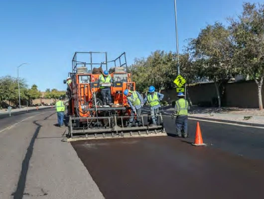
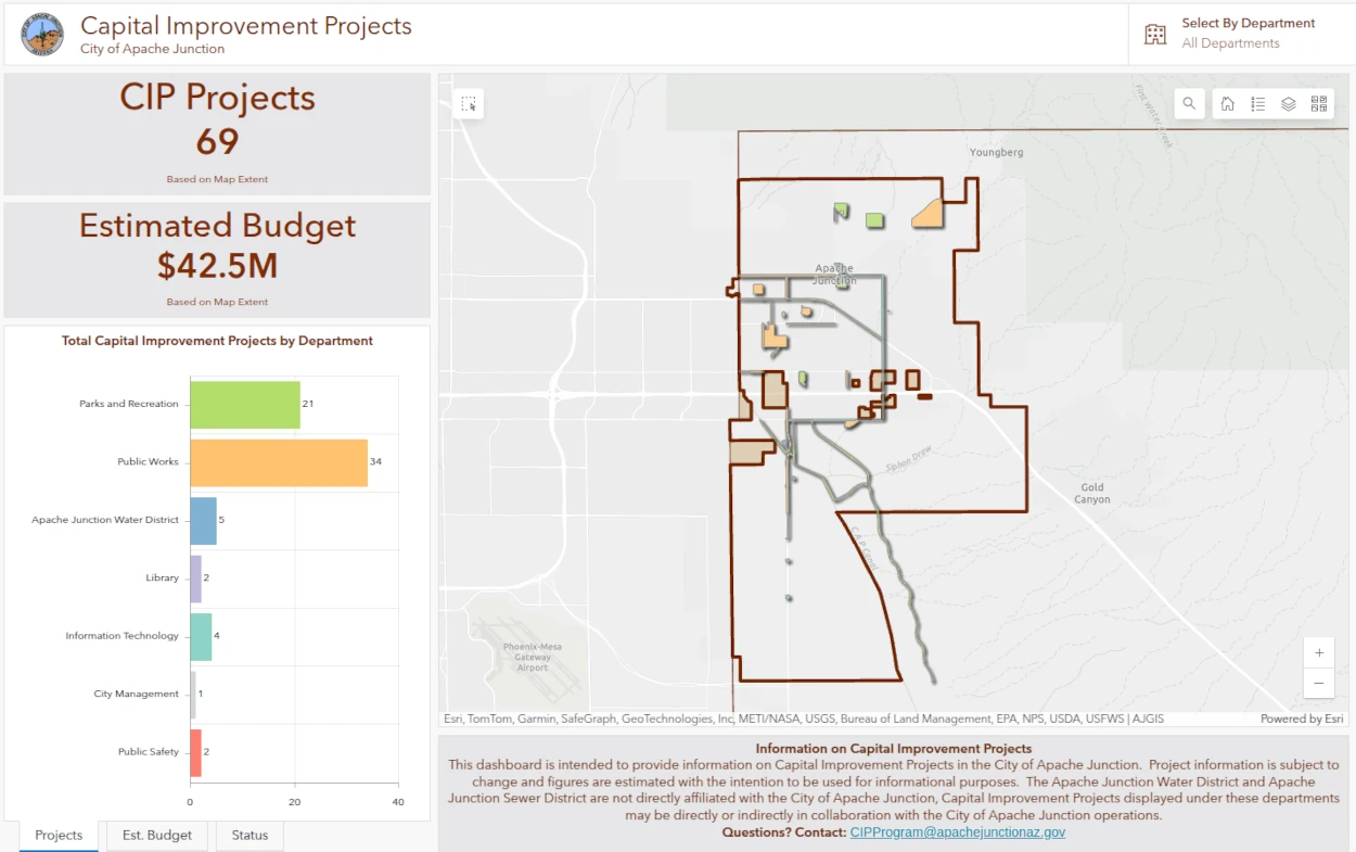
The new online GIS map highlights all capital improvement projects (CIP) approved by the Apache Junction City Council for Fiscal Year 2024/2025. From street enhancements to new park facilities, water system upgrades, and more, users can now easily view detailed information about each project at their fingertips.
“This new interactive tool is a great resource for anyone wanting to stay informed about how the city is investing in long-term improvements,” said Trina Harrison, Capital Improvement Plan Program Manager. “It offers transparency while helping residents better understand the scope and progress of the projects happening around them.”
Capital improvement projects cover a range of initiatives, including:
- Construction of new infrastructure and public facilities
- Major street, park, and building upgrades
- Capital equipment, fleet, and technology investments
- Enhancements to the Apache Junction Water District system
Currently, the tool outlines 69 projects spanning various departments and funding sources. Users can explore projects categorized by department, funding status, and fiscal year, with features that allow for filtering and zooming in on project locations via an interactive map. Each project includes information such as:
- Project description
- Estimated budget
- Funding sources
- Project number
- Estimated timeline
Key funding sources for these projects include:
- Development Fees – Contributions from developers to help cover infrastructure costs tied to community growth.
- Capital Fund – Funds allocated by the City Council from general fund reserves and other operating budgets.
- Highway User Revenue Fund (HURF) – State-shared revenues, often combined with grants, used to fund street and stormwater projects.
- Street Sales Tax – Dedicated funding for transportation infrastructure improvements.
- Grants and Intergovernmental Funds – Financial assistance from federal, state, and county agencies.
The CIP map will be updated regularly as projects advance and new ones are approved, including the upcoming FY 2025/2026 projects and future five-year plans.
This tool is the latest addition to the city’s suite of GIS resources. Apache Junction’s GIS division also maintains interactive maps covering topics such as zoning, public art, parks and recreation facilities, traffic data, floodplains, and water service areas—helping residents access vital information easily and efficiently.
To explore the new Capital Improvement Projects map and learn more about ongoing projects in Apache Junction, visit https://gis.apachejunctionaz.gov/portal/apps/dashboards/11d731c6a274438eac5b8e991f7c6f37.